Immigration to around Kita-Ku , Kumamoto
Kita-ku is one of the administrative districts of Kumamoto city.
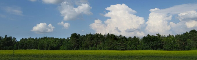
The former Ueki Town Hall became a plant general Branch office after the merger with Kumamoto City, and is now used as a North ward. In addition to hitting the upper basin of the Tsuboi River and the Iseri Natsuki River, the border with the East District is Shirakawa. In the south of the district, there is Tatada mountain near the wards of the Central district (152m altitude, north and west side of the mountain). The production of fruit is also very popular, especially the plant watermelon and melon.
| Municipality | KumamotoKita-Ku |
|---|---|
| Region | 熊本市の区一覧 |
| Population (people) | 143212 |
| Area (sq. Km) | 115.34 |
| Population density | 1241.65 |
KumamotoKita-Ku gender ratio
Inhabitant tax of Kita-Ku,Kumamoto
| Prefectures | Municipality | Equal share | Income ratio | ||
|---|---|---|---|---|---|
| Prefectures | Municipality | Prefectures | Municipality | ||
| Kumamoto | Kita-Ku | 2,000yen | 3,500yen | 4% | 6% |
| Inhabitant tax amount(Case:400万円) | 2,000yen | 3,500yen | 70,400yen | 105,600yen | |
| Annual amount of residence tax(Total) | 181,500yen | ||||
Kita-Ku's migration support information etc.
【Experience】Pros and cons of migrating to Kita-Ku
List of municipalities in Kumamoto
- 球磨地域
- Hitoyoshi City
- Asagiri Town
- Taragi Town
- Nishiki Town
- Yunomae Town
- Itsuki Village
- Kuma Village
- Sagara Village
- Mizukami Village
- Yamae Village
- 芦北地域
- Minamata City
- Ashikita Town
- Tsunagi Town
- 阿蘇地域
- Aso City
- Oguni Town
- Takamori Town
- Minamioguni Town
- Ubuyama Village
- Nishihara Village
- Minamiaso Village
- 天草地域
- Amakusa City
- Kamiamakusa City
- Reihoku Town
- 玉名地域
- Arao City
- Tamana City
- Gyokutou Town
- Nagasu Town
- Nagomi Town
- Nankan Town
- 宇城地域
- Uki City
- Uto City
- Misato Town
- 菊池地域
- Kikuchi City
- Koushi City
- Oodu Town
- Kikuyou Town
- 上益城地域
- Kashima Town
- Kousa Town
- Mashiki Town
- Mihune Town
- Yamato Town
- 熊本市の区一覧
- Kita-Ku
- Chuuou-Ku
- Nishi-Ku
- Higashi-Ku
- Minami-Ku
- 熊本市
- Kumamoto City
- 八代地域
- Yatsushiro City
- Hikawa Town
- 鹿本地域
- Yamaga City